

Agisoft Metashape vs RealityCapture: How to Choose for Precision Photogrammetry
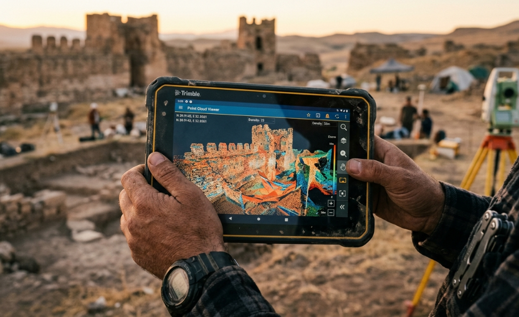
When a surveying, drone, or geomatics company evaluates which photogrammetry software to adopt, the comparison between Agisoft Metashape and RealityCapture frequently comes up. Both process images to generate point clouds, 3D models, orthomosaics, and elevation models. But the way they do it, the workflows they support, and the project profile where each generates the most […]
Metashape vs Pix4D: Full Control Over Your Photogrammetry
For a surveyor or mapping engineer working with drones, the difference between Metashape and Pix4D is not whether they generate the model, but how much control they give you over how they do it. Pix4D guides you. Metashape lets you decide. In projects where precision is a contractual requirement, that difference is what determines whether […]
Drone photogrammetry: how to reduce field hours and measurement errors with topographically accurate 3D models
Drone photogrammetry for surveying has changed the way civil engineering, archaeology, and heritage management teams approach surveys. What once required days of fieldwork with traditional measuring equipment can now be completed in a flight of minutes, with centimeter-level accuracy that was previously reserved for much more expensive and complex technology. Measuring by hand is time-consuming […]
3D Maps and Models From Drone Photos: Precision Manual Methods Can’t Match
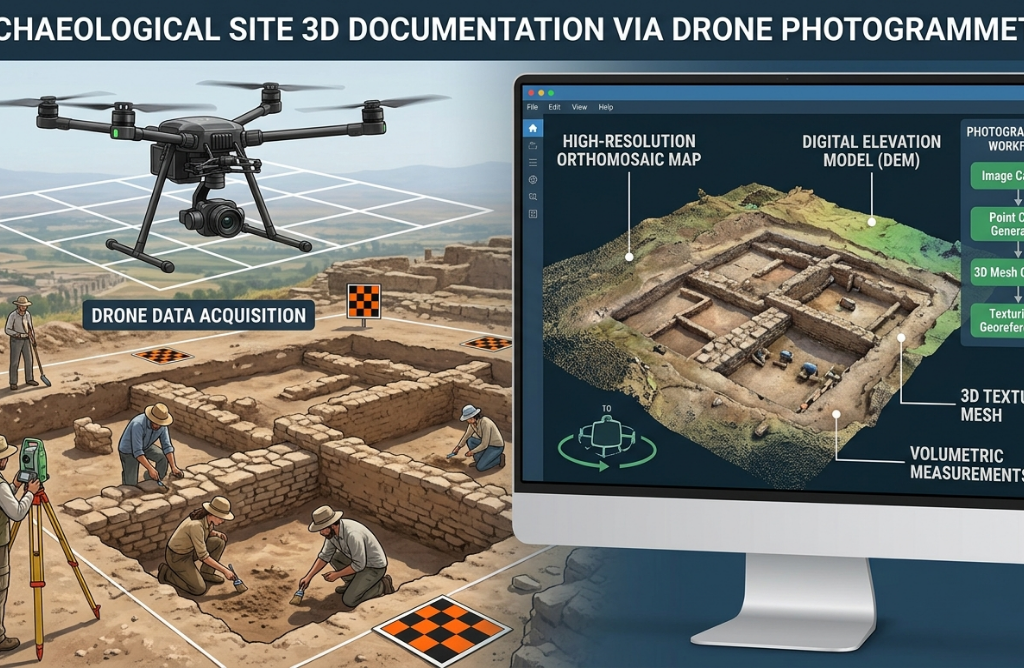
Measuring a site on foot has always been slow. For a surveyor or field team, a full day in the field might cover a few hundred square meters with acceptable accuracy. Scaling that to hectares means days of work, multiple field trips, and a data consolidation process that takes as long as the survey itself. […]
Metashape for Civil Engineering: Construction Monitoring and Volume Calculation
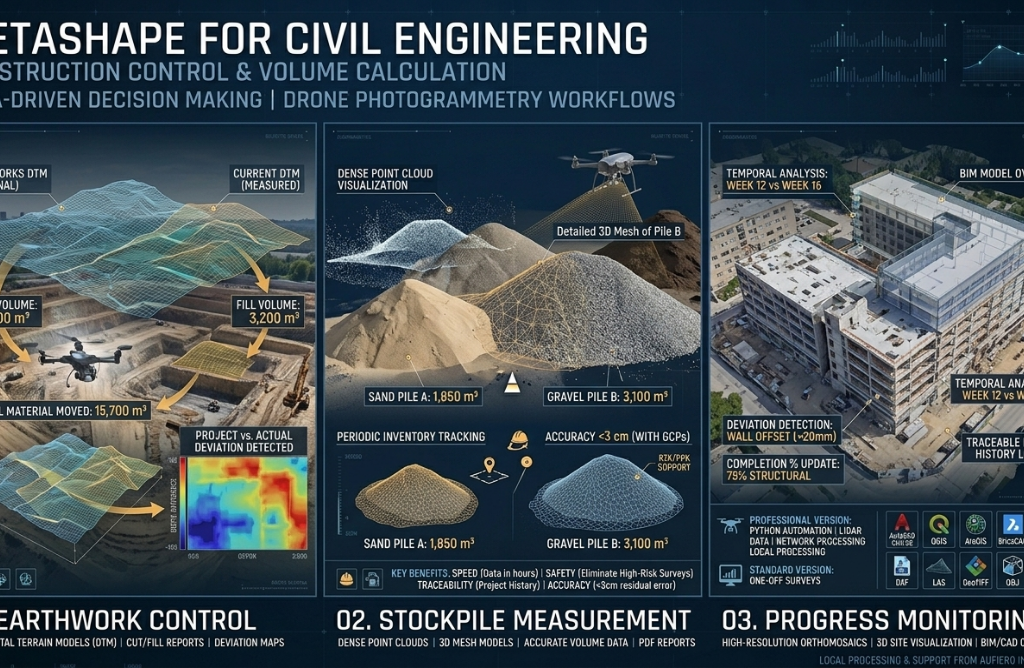
The construction and civil engineering industry is undergoing a quiet but profound transformation. Drones combined with photogrammetry software like Agisoft Metashape now make it possible to survey a site, calculate earthwork volumes, document progress, and detect deviations from the original design — all in a matter of hours rather than days. This article explains how […]
How to Use Metashape for Infrastructure Inspection: Bridges, Towers, and Buildings
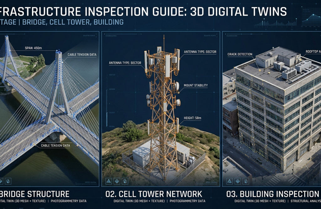
Infrastructure inspection is one of the most critical — and most dangerous — tasks in engineering. Accessing the underside of a bridge, the top of a telecommunications tower, or the facade of a twenty-story building carries significant risks for workers, high scaffolding costs, and lengthy intervention timelines. Agisoft Metashape, combined with drones equipped with high-resolution […]
Advantages of Buying Metashape Through an Authorized Distributor

Buying software directly from the manufacturer’s website seems like the simplest option. But when it comes to professional tools like Agisoft Metashape — technical software with multiple editions, license types and specific hardware requirements — the difference between buying through an authorized distributor and going direct can be enormous. In this article we explain why. […]
Use of Metashape in archaeology: documentation of historical sites
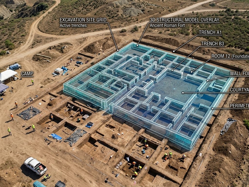
Why photogrammetry changed archaeology Archaeology is increasingly relying on photogrammetric approaches, whether for modeling an artifact or mapping an excavation. Thanks to its ability to process images from any digital camera, Metashape is widely used in diverse archaeological projects, both in the mountains and underwater, including specialized investigations such as studying vegetation patterns to locate […]
Agisoft Metashape vs RealityCapture: complete comparison 2026
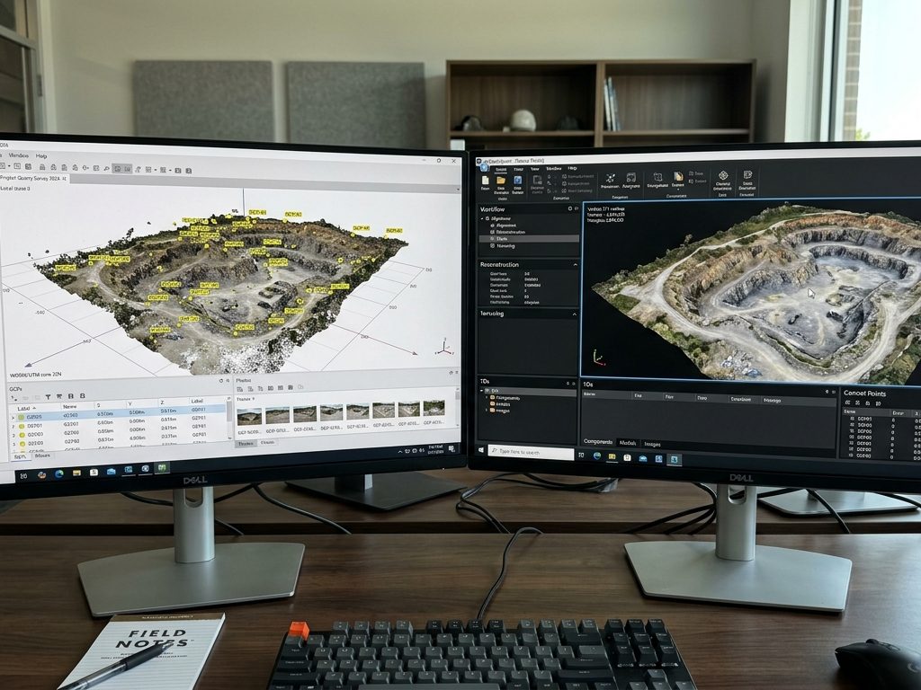
If you’re evaluating which professional photogrammetry software to use, you’ll eventually come across this comparison. Agisoft Metashape and RealityCapture—rebranded as RealityScan 2.0 by Epic Games in 2025—are the two undisputed leaders in the market. Both convert photographs into point clouds, 3D meshes, orthomosaics, and elevation models. But their philosophies, strengths, and prices are markedly different. This guide […]
Photogrammetry with drones for surveying: Metashape in action
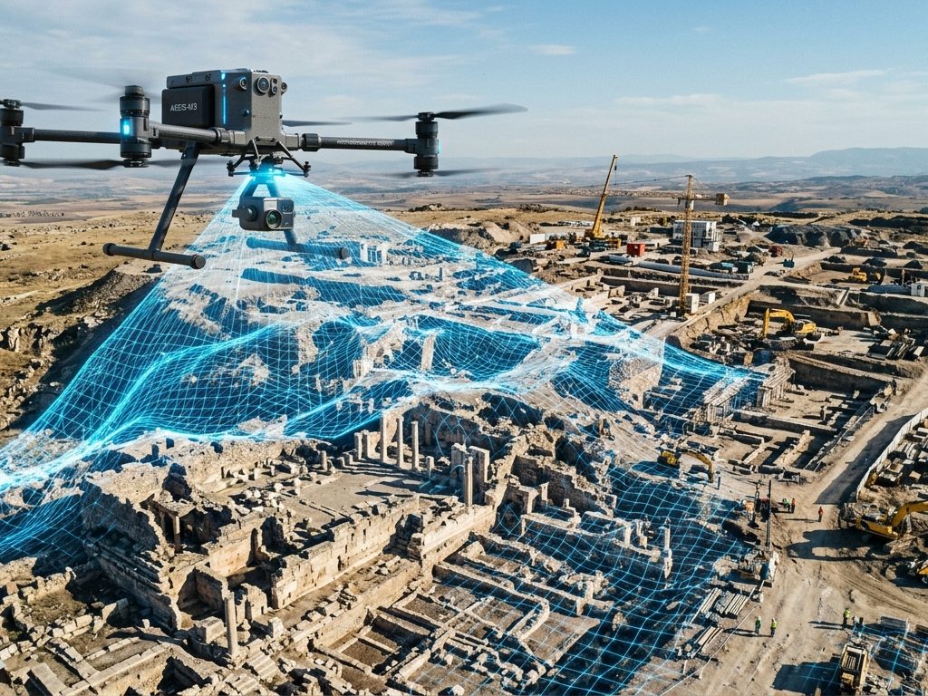
Drone photogrammetry has transformed surveying. What once required weeks of work with total stations, leveling equipment, and field crews can now be done in hours: a drone flies autonomously over the area, captures hundreds of precisely overlapping photos, and software like Agisoft Metashape converts those images into orthomosaics, digital elevation models, and point clouds with […]