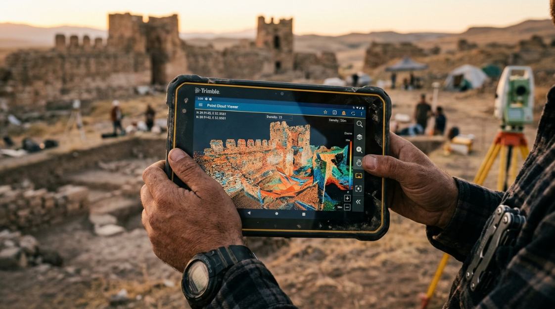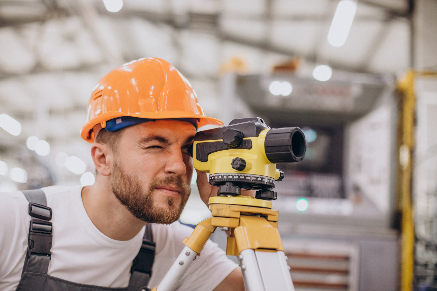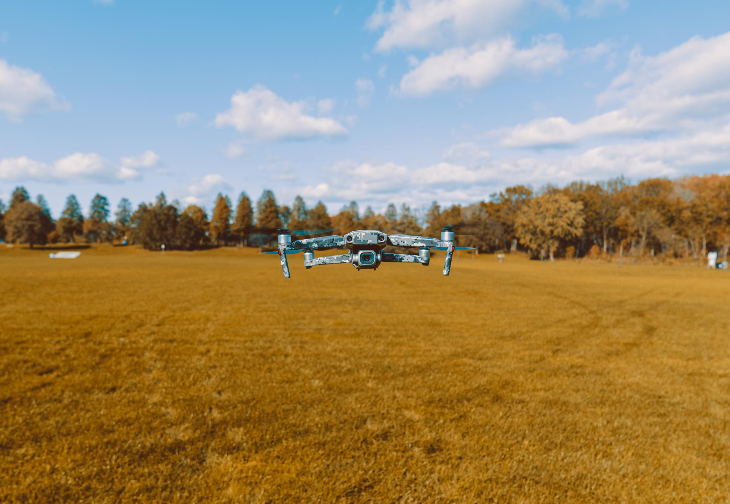

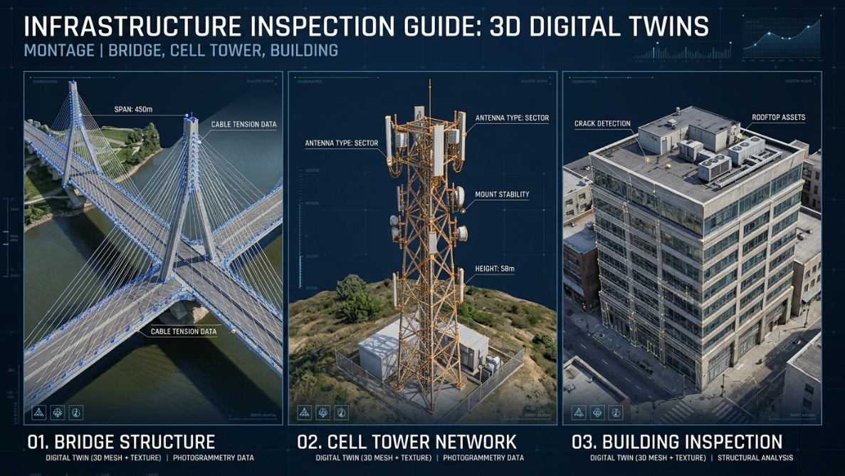
Infrastructure inspection is one of the most critical — and most dangerous — tasks in engineering. Accessing the underside of a bridge, the top of a telecommunications tower, or the facade of a twenty-story building carries significant risks for workers, high scaffolding costs, and lengthy intervention timelines.
Agisoft Metashape, combined with drones equipped with high-resolution cameras, is radically changing that reality. Today it is possible to inspect complex structures safely, quickly, and with a level of detail that traditional methods simply cannot match.
What Is Photogrammetric Infrastructure Inspection?
Photogrammetric inspection involves capturing systematic images of a structure from multiple angles and processing them in software like Metashape to obtain:
- High-resolution 3D models of the complete structure.
- Orthophotographs of each face or section at true scale.
- Dense point clouds that allow distance measurements, deformation detection, and comparison across surveys over time.
- Georeferenced visual records documenting the condition of the structure at a specific date.
The result is a digital twin of the structure that can be analyzed in detail from a screen, without any need to be physically present in hazardous areas.
Applications by Structure Type
Bridges and Viaducts
Bridges are structures subject to dynamic loads, vibrations, and environmental agents that cause progressive deterioration. Periodic inspection is mandatory in most countries, but accessing the lower beams, piers, and abutments typically requires special equipment and traffic stoppages.
With Metashape and drones it is possible to:
- Generate a complete 3D model of the bridge, including the underside of the beams.
- Detect cracks, efflorescence, concrete spalling, and corrosion on exposed reinforcement.
- Compare models taken on different dates to identify the progression of deterioration.
- Overlay the real model onto original drawings to verify structural deformations.
This approach is especially valuable for road agencies managing extensive bridge networks that need to prioritize interventions based on the actual condition of each structure.
Towers and Elevated Structures
Telecommunications towers, wind turbines, industrial chimneys, antennas, and high-voltage structures are assets where manual inspection involves high-risk work at height and very high costs for certified personnel.
The Metashape workflow allows:
- Capturing the complete structure in orbital or spiral flight from the base to the top.
- Obtaining centimeter-resolution images of each section, including welds, fixings, and corrosion points.
- Generating geolocated visual reports of each detected anomaly.
- Reducing inspection time from days to a few hours.
Buildings and Facades
Facade inspection is a legal requirement in many jurisdictions and a prerequisite for obtaining permits and insurance for public-use buildings. Metashape allows:
- Generating true-scale facade orthophotographs to detect cracks, moisture, spalling, and coating deterioration.
- Producing complete 3D models of the building for structural analysis or rehabilitation projects.
- Documenting the pre-renovation condition, protecting owners and contractors against potential disputes.
Inspection Workflow with Metashape
Step 1: Flight Planning
The quality of the final model depends heavily on the capture. For infrastructure inspection, the following is recommended:
- 80–85% front and side image overlap to ensure complete coverage.
- Orbital or grid flights adapted to the geometry of the structure.
- Constant flight distance relative to the surface to maintain uniform resolution.
- Use of inspection drones such as the DJI Mavic 3 Enterprise or DJI Matrice 350, with zoom or thermal cameras depending on the objective.
Step 2: Capture and Transfer
Images are transferred to the processing workstation and organized by section or face of the structure to streamline work in Metashape.
Step 3: Alignment and Point Cloud Generation
In Metashape:
- Images are imported and camera alignment is executed.
- A dense point cloud is generated at high or ultra-high quality depending on the level of detail required.
- The 3D mesh is built and photorealistic texture is applied.
Step 4: Analysis and Pathology Identification
With the model generated, the inspector can:
- Navigate the 3D model on screen and measure distances and areas using Metashape’s built-in tools.
- Export orthophotographs of each face for detailed analysis.
- Mark areas of interest with markers and associate notes or classifications.
Step 5: Export and Reporting
Final products are exported in formats compatible with the client’s workflow:
- PDF with annotated orthophotographs for inspection reports.
- LAS/LAZ for analysis in CloudCompare or other point cloud software.
- OBJ/FBX for visualization in BIM or virtual reality software.
- DXF for integration into CAD drawings.
Advantages Over Traditional Inspection
| Aspect | Traditional inspection | Drone + Metashape inspection |
| Safety | High risk for inspectors | No exposure to hazardous areas |
| Survey time | Days or weeks | Hours |
| Access cost | Scaffolding, cranes, climbers | Cost of the flight |
| Coverage | Limited to accessible areas | Full structural coverage |
| Documentation | Spot photos and notes | Complete georeferenced 3D model |
| Historical comparison | Difficult to systematize | Direct comparison between models |
| Repeatability | Variable by inspector | Reproducible and standardizable |
Pathology Detection: What Can Metashape Identify?
Metashape is not structural analysis software, but the model it generates allows the engineering inspector to visually identify:
- Cracks and fissures in concrete, masonry, or metal.
- Efflorescence and moisture on concrete surfaces.
- Corrosion and oxidation on metal structures.
- Geometric deformations by comparison with previous models or original drawings.
- Spalling of coatings, plaster, or protective layers.
- Deteriorated joints in bridges and segmented structures.
For greater detection accuracy, the use of thermal cameras during capture allows identification of infiltrations and delaminations not visible to the naked eye — and those images can also be processed in Metashape.
Metashape Standard or Professional for Inspection?
For infrastructure inspection, the choice depends on workload and the level of automation required:
- Standard (USD 179): suitable for independent inspectors or small firms carrying out occasional surveys. Includes all the 3D modeling and export functions needed.
- Professional (USD 3,499): recommended for companies managing infrastructure portfolios, needing to automate workflows with Python, or requiring network processing to handle multiple projects simultaneously.
You can explore both options at the Aufiero Informática store.
Integration with BIM and Asset Management Workflows
A growing trend in infrastructure management is integrating Metashape models into asset management platforms or BIM (Building Information Modeling) workflows. This allows:
- Associating 3D models with technical records, intervention histories, and maintenance schedules.
- Comparing the as-built model with the design model to verify construction tolerances.
- Feeding digital twin systems that simulate structural behavior over time.
Metashape’s export formats (OBJ, FBX, LAS) are compatible with leading BIM platforms including Autodesk Revit, Bentley iTwin, and Trimble Connect.
Conclusion
Infrastructure inspection with drones and Agisoft Metashape represents a qualitative leap in safety, efficiency, and the quality of information obtained. What once required weeks of work at height, costly access equipment, and fragmented documentation can today be resolved in hours with a complete, georeferenced 3D model that is comparable over time.
If your company or firm is evaluating the adoption of this technology, the team at Aufiero Informática can advise you on the right license for your operation.
👉 Contact us or visit our Metashape product page.
Frequently Asked Questions (FAQ)
What resolution can be achieved in infrastructure inspection with drones?
It depends on the flight distance and camera used. Flying at 5–10 meters with a 20 MP camera, resolutions of 2 to 5 mm per pixel are achievable — sufficient to detect millimeter-wide cracks in concrete or metal structures.
Is georeferencing necessary for an inspection?
Not always. For visual inspections aimed at detecting pathologies and documenting condition, a model without absolute georeferencing may be sufficient. Georeferencing becomes essential when comparing models from different dates or integrating the survey with GIS or BIM systems.
Can Metashape work with thermal images?
Yes. Metashape processes thermal images the same way as RGB images, generating point clouds and models with thermal data as texture. This allows identification of infiltration zones, delamination, or insulation loss that are not visible in the visible spectrum.
How long does it take to process an inspection model of a bridge?
It depends on the size of the bridge and the number of images, but a medium-length bridge (50–100 meters) with 500–800 images can be processed in Metashape in 2 to 4 hours with recommended hardware (NVIDIA RTX GPU).
Do the generated models have legal validity as technical documentation?
Generally yes, especially when the survey is carried out by a licensed professional who signs the technical report. The Metashape model serves as photographic and geometric evidence supporting the report. Specific validity depends on the regulations of each jurisdiction and the type of structure.
What if the structure has highly reflective metal surfaces?
Highly reflective or specular surfaces (polished stainless steel, glass) can make photogrammetric reconstruction difficult. In those cases it is recommended to capture under diffuse light, use polarizing filters on the camera, or complement with LiDAR data where photogrammetry falls short.
Can Metashape be used for interior inspection of structures such as tunnels and culverts?
Yes, although dark interiors require additional artificial lighting. For tunnels and culverts, drones with integrated lighting or 360° cameras mounted on inspection vehicles are used. Metashape processes those images using the same workflow as any other survey.
How can I purchase Metashape with local invoicing and technical support?
Through Aufiero Informática, official Agisoft distributors. We provide local invoicing, Spanish-language support, and personalized guidance based on your project type. Contact us through our website.