

Drone photogrammetry: how to reduce field hours and measurement errors with topographically accurate 3D models
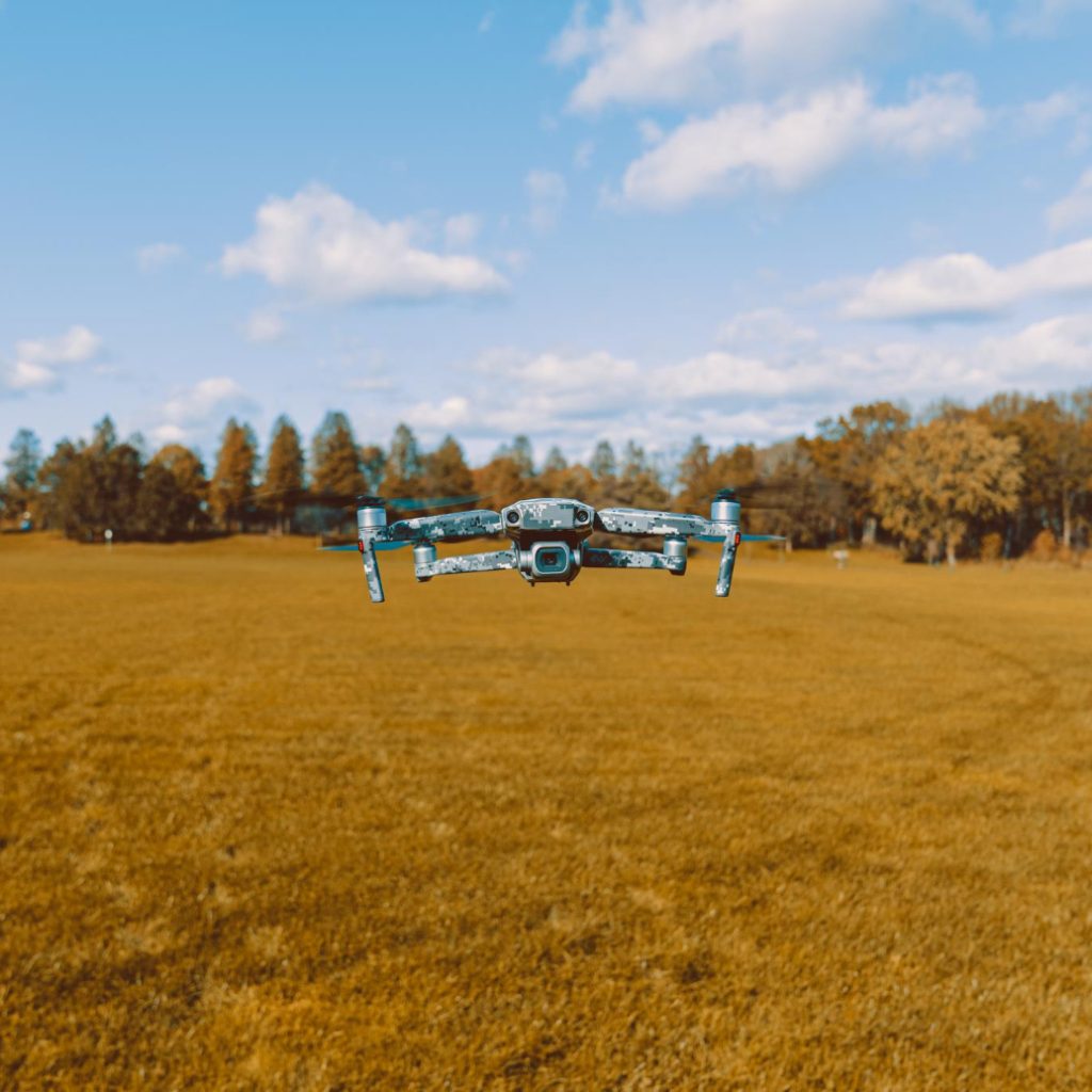
Drone photogrammetry for surveying has changed the way civil engineering, archaeology, and heritage management teams approach surveys. What once required days of fieldwork with traditional measuring equipment can now be completed in a flight of minutes, with centimeter-level accuracy that was previously reserved for much more expensive and complex technology. Measuring by hand is time-consuming […]