

Metashape for Civil Engineering: Construction Monitoring and Volume Calculation
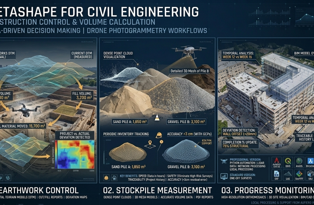
The construction and civil engineering industry is undergoing a quiet but profound transformation. Drones combined with photogrammetry software like Agisoft Metashape now make it possible to survey a site, calculate earthwork volumes, document progress, and detect deviations from the original design — all in a matter of hours rather than days. This article explains how […]