

3D Maps and Models From Drone Photos: Precision Manual Methods Can’t Match
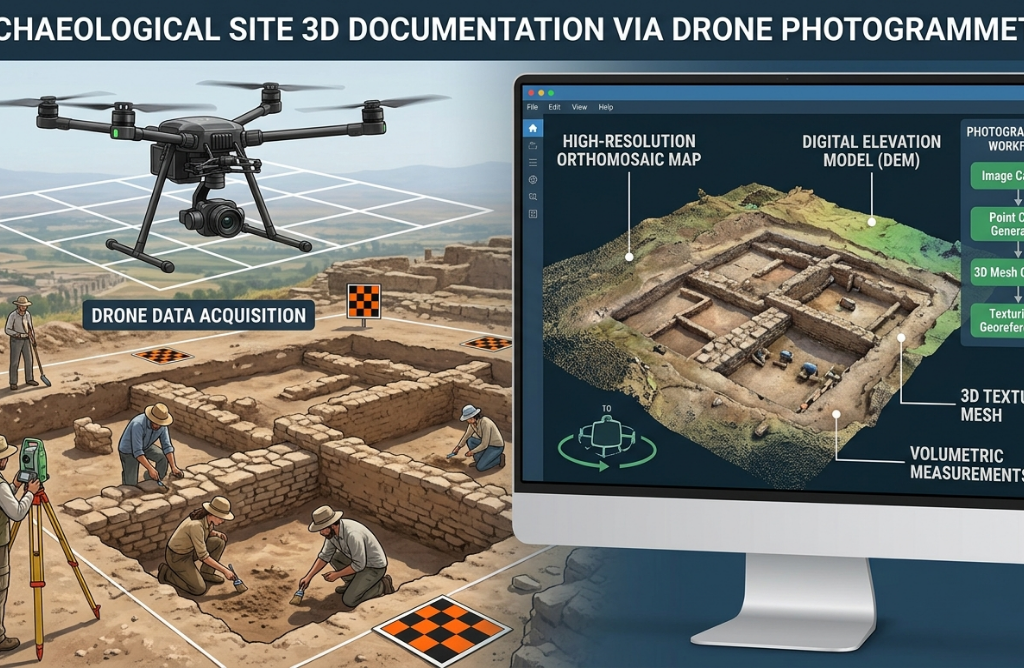
Measuring a site on foot has always been slow. For a surveyor or field team, a full day in the field might cover a few hundred square meters with acceptable accuracy. Scaling that to hectares means days of work, multiple field trips, and a data consolidation process that takes as long as the survey itself. […]