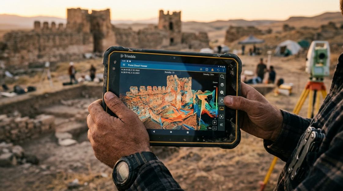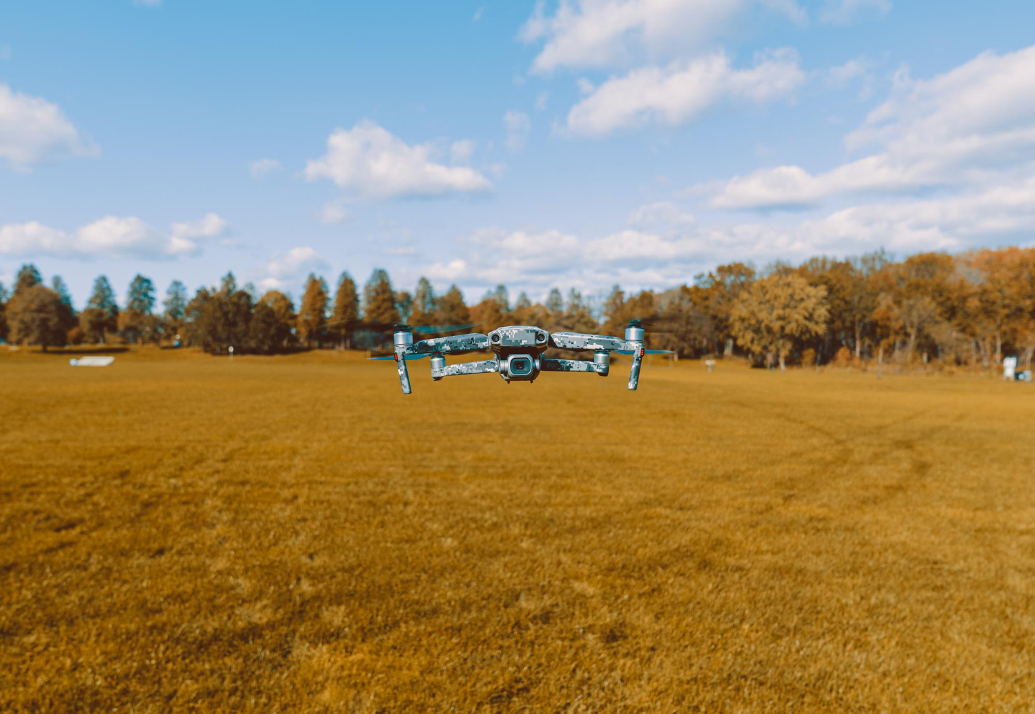

The construction and civil engineering industry is undergoing a quiet but profound transformation. Drones combined with photogrammetry software like Agisoft Metashape now make it possible to survey a site, calculate earthwork volumes, document progress, and detect deviations from the original design — all in a matter of hours rather than days.
This article explains how Metashape is applied in civil engineering projects, what the most common workflows look like, and why more and more firms, contractors, and public agencies are making it part of their standard operations.
Why Civil Engineering Needs Photogrammetry
Infrastructure projects generate enormous amounts of spatial data: earthmoving, material stockpiles, structural progress, comparisons against original plans. Managing that information accurately and frequently is essential for timely decision-making.
Drone photogrammetry solves three long-standing problems in the industry:
- Speed: a 20-minute flight can capture data across several hectares at centimeter-level resolution.
- Safety: surveyors no longer need to enter hazardous areas such as deep excavations, unstable slopes, or elevated structures.
- Traceability: every flight is recorded with a date and georeference, creating a documented history of the project.
Metashape is the software that turns those images into actionable products for the engineer: point clouds, digital terrain models, orthomosaics, and volume reports.
Concrete Applications in Civil Works
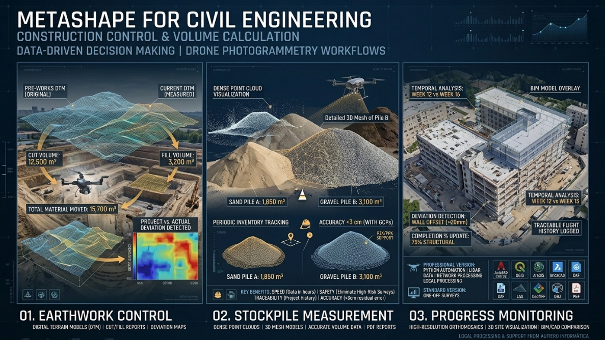
1. Earthwork Monitoring
Earthmoving is one of the most costly phases of any infrastructure project. Accurately calculating how much material has been excavated, filled, or compacted directly affects costs and billing.
With Metashape it is possible to:
- Generate a Digital Terrain Model (DTM) before and after each earthmoving operation.
- Compare both models to obtain the exact volume of material moved.
- Export reports showing positive differences (fill) and negative differences (cut) across the surveyed area.
This workflow is compatible with industry standards and can be integrated with project management software such as AutoCAD Civil 3D or BricsCAD.
2. Stockpile Volume Measurement
Aggregate plants, quarries, and road construction sites need to know the volume of stockpiled materials periodically: stone, sand, soil, crushed concrete. The traditional method — measuring with a tape measure and geometric formulas — carries significant error margins.
With a drone flight and Metashape, the process is:
- Photographic capture of the stockpile from multiple angles.
- Processing in Metashape to generate a dense point cloud and 3D mesh.
- Automatic volume calculation over a base surface defined by the operator.
- Export of results in PDF or management-system-compatible formats.
The accuracy achieved far exceeds manual methods, and total processing time is reduced to under an hour per stockpile.
3. Construction Progress Monitoring
One of the most valued applications in large-scale projects is periodic progress monitoring. With weekly or biweekly flights it is possible to:
- Compare the actual state of the site against the BIM model or original design drawings.
- Detect deviations early, before they become costly problems.
- Generate up-to-date orthomosaics for site meetings and reports to investors or clients.
Metashape processes these captures consistently and reproducibly, ensuring that each survey is comparable with the previous one.
4. As-Built Documentation of Existing Infrastructure
Before intervening on a road, bridge, or drainage network, accurate information about the current state is essential. Metashape allows the generation of 3D models of existing infrastructure that serve as a baseline for the intervention project, minimizing surprises during execution.
Typical Workflow in Civil Engineering
| Stage | Tool / Action |
| Flight planning | Mission software (DJI Pilot, DroneDeploy, Mission Planner) |
| Image capture | Drone with RGB or multispectral camera |
| Import and alignment | Agisoft Metashape |
| Ground Control Points (GCPs) | Metashape + RTK GPS or total station |
| Dense point cloud generation | Metashape |
| DTM and orthomosaic creation | Metashape |
| Volume calculation | Metashape or GIS/CAD software |
| Export and reporting | DXF, LAS, TIF, PDF |
Accuracy and Ground Control Points (GCPs)
For engineering projects where precision is critical, the use of Ground Control Points (GCPs) is essential. These are physical points marked on the ground with known coordinates (obtained via RTK GPS or total station) that are entered into Metashape to correct the model’s georeferencing.
With an adequate GCP density, Metashape can achieve residual errors below 3 cm in both planimetry and altimetry — sufficient for most civil engineering projects.
Metashape is also compatible with PPK (Post-Processed Kinematic) and RTK workflows, which reduce or eliminate the need for field GCPs when using drones with integrated high-precision GPS receivers.
Metashape Standard or Professional for Civil Engineering?
For civil engineering applications, the Professional edition is the most appropriate for the following reasons:
- Python scripting: allows automation of repetitive workflows, such as weekly processing of monitoring flights.
- LiDAR point cloud support: the Professional version can work with LiDAR data in addition to photogrammetric outputs.
- Network Processing: ideal for firms processing multiple projects simultaneously.
The Standard edition (USD 179) may be sufficient for occasional surveys or smaller operations. The Professional edition (USD 3,499) pays for itself quickly in continuous operations or when automation is required.
You can explore both options at the Aufiero Informática store.
Export Formats Compatible with the Engineering Ecosystem
Metashape exports in the most widely used formats in the industry:
- LAS / LAZ: point cloud compatible with AutoCAD, Revit, CloudCompare, and LiDAR software.
- DXF: contour lines and vector geometry for CAD.
- GeoTIFF: georeferenced orthomosaics for GIS (QGIS, ArcGIS).
- OBJ / FBX: 3D models for visualization and BIM.
- PDF volume reports: documentation for clients and investors.
Why Choose Metashape Over Other Solutions?
Other platforms exist (Pix4D, DroneDeploy, RealityCapture), but Metashape remains the preferred choice for technical firms and independent professionals for several reasons:
- Perpetual license: no mandatory monthly subscription. Pay once and use indefinitely.
- Local processing: data never leaves your machine — critical for sensitive projects or sites without connectivity.
- Flexibility: compatible with any drone, camera, or capture workflow.
- Competitive pricing: especially compared to subscription platforms that easily exceed USD 300/month.
Minimum Requirements for Engineering Projects
For efficient processing of civil engineering projects in Metashape:
- CPU: Intel Core i7 / AMD Ryzen 7 latest generation or higher.
- RAM: 32 GB minimum; 64 GB or more for large projects.
- GPU: NVIDIA with CUDA support (RTX 3070 or higher recommended).
- Storage: NVMe SSD with at least 500 GB free per project.
GPU processing can reduce computation times by up to 80% compared to CPU-only processing.
Conclusion
Agisoft Metashape has established itself as an essential tool for civil engineers, surveyors, and construction companies seeking precision, efficiency, and traceability in their projects. Its ability to generate 3D models, orthomosaics, and volume calculations from drone imagery makes it an indispensable asset at every stage of a project.
If you want to incorporate Metashape into your workflow or need guidance on choosing the right license, the team at Aufiero Informática is here to help.
👉 Contact us for more information or visit our Metashape product page.
Frequently Asked Questions (FAQ)
Can Metashape calculate volumes directly without exporting to another software?
Yes. Metashape Professional includes a built-in volume calculation tool. You can define a base surface (reference plane or original terrain) and automatically calculate the volume above or below that surface. Results can be exported as PDF or CSV.
What accuracy can be achieved in construction surveys?
With well-distributed GCPs captured via RTK GPS or total station, Metashape can achieve accuracies of 1 to 3 cm in both planimetry and altimetry. When using drones with integrated PPK or RTK receivers, similar results can be obtained without placing physical markers in the field.
Do I need a specific drone to use Metashape?
No. Metashape is compatible with images from any drone, camera, or capture device. It works with DJI, Parrot, senseFly, Autel, and also with handheld cameras for structural or interior surveys.
Can I process LiDAR data in Metashape?
The Professional version allows importing and processing LiDAR point clouds, combining them with photogrammetric data for more complete models. This is especially useful in surveys of densely vegetated areas where images alone cannot penetrate the canopy.
Does Metashape work offline?
Yes. All processing is completely local, making it ideal for remote sites without internet coverage and for projects where data confidentiality is a priority.
How many images can Metashape process in a single project?
It depends on available hardware, but Metashape has been used in projects with tens of thousands of images. For large sites, it is recommended to divide the area into blocks and process them separately, using the chunk merging function available in both editions.
What is the difference between DTM and DSM in construction projects?
A Digital Surface Model (DSM) represents everything the sensor captures: ground, vegetation, structures, and machinery. A Digital Terrain Model (DTM) filters those elements to represent only the bare ground. In construction monitoring, the DTM is the most useful product for earthwork calculations and comparison with the original design.
How can I purchase Metashape with a local invoice?
Aufiero Informática is an official Agisoft distributor. We issue local invoices and provide technical support in Spanish. You can reach us through our website.