


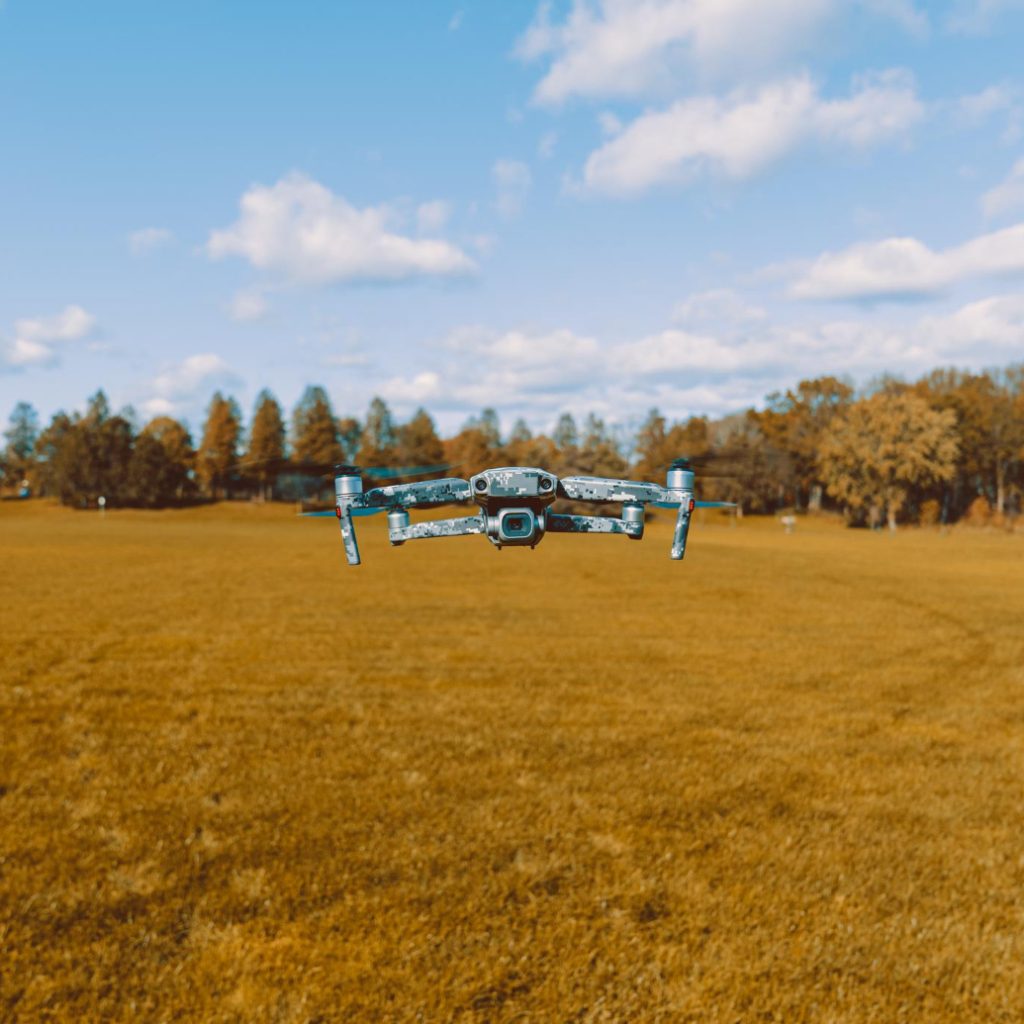
Drone photogrammetry for surveying has changed the way civil engineering, archaeology, and heritage management teams approach surveys. What once required days of fieldwork with traditional measuring equipment can now be completed in a flight of minutes, with centimeter-level accuracy that was previously reserved for much more expensive and complex technology.
Measuring by hand is time-consuming and prone to errors, especially in civil engineering projects, cultural heritage sites, or large areas. With a drone and Agisoft Metashape, you get point clouds, 3D meshes, and orthomosaics with centimeter-level topographic accuracy, ready to use in your standard software.
What is drone photogrammetry and why is it replacing manual surveying?
Photogrammetry is the technique that allows the reconstruction of objects and surfaces in three dimensions from photographs taken from different angles. When these photographs are captured from a drone with controlled overlay, the result is a dataset that can be transformed into dense point clouds, 3D meshes, digital elevation models (DEMs), and georeferenced orthomosaics.
The difference compared to manual surveying is structural. A surveyor with a total station can measure with high precision, but their productivity is limited by the time it takes to move from point to point. A drone can fly over hectares in minutes, capturing thousands of points per square meter with a data density impossible to achieve manually.
The result is not just faster. It’s more comprehensive, more consistent, and easier to update. And when the survey needs to be repeated to monitor construction or detect changes in the terrain, the flight process is identical and the data are directly comparable.
Agisoft Metashape: the standard in photogrammetry for surveying, AEC and heritage
Agisoft Metashape is the leading software for professional photogrammetric processing. Its adoption in sectors such as surveying, civil engineering (AEC), archaeology, and cultural heritage is no accident: it is the result of more than a decade of development focused on accuracy, format versatility, and the ability to produce deliverables directly usable in real-world workflows.
With Metashape, drone photogrammetry produces results ranging from visualization to engineering: dense point clouds with automatic classification, textured 3D meshes, digital terrain and surface models, high-resolution orthomosaics, and multispectral reflectance data for precision agriculture.
Everything from drone photos, without additional hardware, without rework, and without the need to migrate data between platforms at each stage of the process.
From drone to 3D model: the workflow with Metashape

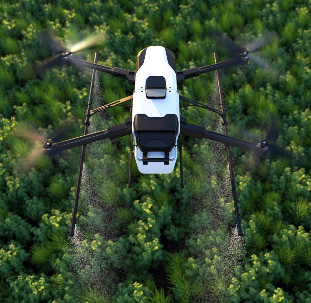
The drone photogrammetry workflow in Metashape follows a logical sequence that the software handles with a high level of automation, allowing the operator to focus on quality parameters rather than manual steps.
- Image Alignment: Metashape detects points of correspondence between photographs and reconstructs the camera position for each shot, generating an initial sparse point cloud that represents the geometry of the surveyed area.
- Dense Point Cloud: Based on the alignment, the software generates a dense point cloud with up to hundreds of millions of points, which can be automatically classified into categories such as soil, vegetation, buildings, and infrastructure.
- 3D Mesh and Texture: The point cloud is converted into a polygonal mesh to which photographic textures are applied, producing a photorealistic 3D model of the surveyed area.
- DEM and Orthomosaic: The digital elevation model and georeferenced orthomosaic are generated at configurable resolutions, ready for import into GIS, CAD, or asset management software.
Topographic accuracy in centimeters: how it is achieved
Centimeter-level accuracy in drone photogrammetry depends on two factors: the quality of the flight plan and the use of ground control points (GCPs).
A good flight plan ensures sufficient lateral and frontal overlap between images, appropriate flight altitude for the required resolution, and complete coverage of the area without data gaps. Metashape correctly processes images captured by leading drone manufacturers, including those equipped with RTK and PPK receivers for greater georeferencing accuracy.
GCPs are physical points on the ground with known coordinates that are marked on the images to anchor the model to the real-world reference system. With a suitable distribution of GCPs, Metashape achieves centimeter-level topographic accuracy in point clouds and orthomosaics, verifiable using independent control points.
For projects where direct georeferencing using RTK/PPK is sufficient, Metashape can also work without GCPs, simplifying the field workflow without sacrificing model quality.
Export formats compatible with your workflow
One of Metashape’s strengths for teams integrating drone photogrammetry into professional workflows is its wide range of export formats.
Point clouds can be exported in LAS, LAZ, PLY, XYZ, and other formats compatible with point cloud processing software such as CloudCompare, Leica Cyclone, Autodesk ReCap, and GIS platforms. Orthomosaics and DEMs are exported in GeoTIFF with embedded georeferencing. 3D meshes are available in OBJ, FBX, DXF, Collada, and other formats. Processing reports include accuracy parameters, reprojection errors, and GCP statistics, ready for presentation in audits or technical reports.
This means that the model generated in Metashape can continue to be worked on in AutoCAD Civil 3D, ArcGIS, QGIS, Bentley MicroStation, or any other software in the team’s usual workflow, without problematic conversions or loss of information.
Most frequent use cases of Metashape in LATAM
- Topography and earthworks: Volumetric calculations of excavations and fills, monitoring of work progress, updating of terrain models.
- Road engineering: Corridor surveying, interference detection, linear work control.
- Cultural heritage and archaeology: Site documentation, excavation records, generation of digital twins of historic buildings.
- Mining: Stockpile volume calculation, slope monitoring, blast planning.
- Precision agriculture: NDVI maps, crop health analysis, biomass estimation with multispectral cameras.
Official license and local support with Aufiero Informática
Aufiero Informática is an official Agisoft distributor in Latin America. This means a legal license, local invoices, and support in your language, without intermediaries who are unfamiliar with the product.
You can purchase your Metashape license directly online or consult with an Aufiero specialist to choose the version best suited to your workflow: Metashape Standard for individual users and medium-complexity projects, or Metashape Professional for workflows that require point cloud classification, export in advanced formats, Python scripting, and multispectral image processing.
Frequently asked questions about drone photogrammetry and Agisoft Metashape
What level of accuracy does Agisoft Metashape achieve?
With a good flight plan and ground control points (GCPs), Metashape achieves centimeter-level topographic accuracy in point clouds and orthomosaics.
Does it work with drone photos?
Yes. It processes images from drones, ground cameras, or RGB and multispectral sensors, and generates 3D models, meshes, DEMs, and orthomosaics.
What formats can I export?
Export to industry-standard formats: OBJ, LAS/LAZ, GeoTIFF, DXF, among others, to continue working in your usual software.
Do I need checkpoints (GCP)?
They are not mandatory, but for topographic accuracy and true georeferencing, their use is recommended. For RTK/PPK streams, Metashape also works without GCPs with good results.
Are the license and support official?
Yes. Aufiero is an official Agisoft distributor: legal license, local invoice, and support in your language.