


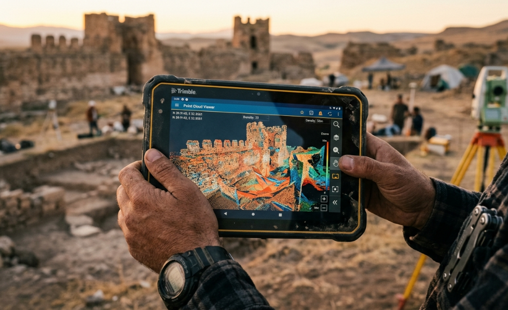
When a surveying, drone, or geomatics company evaluates which photogrammetry software to adopt, the comparison between Agisoft Metashape and RealityCapture frequently comes up. Both process images to generate point clouds, 3D models, orthomosaics, and elevation models. But the way they do it, the workflows they support, and the project profile where each generates the most value are different. Choosing the wrong one is not just a technical problem: it is a workflow problem, an integration problem with existing GIS systems, and a cost predictability problem.
This guide compares both solutions from the perspective of a business director or manager who needs measurable, repeatable, and correctly georeferenced results, and who has to justify that decision to a technical team and a budget.
The Central Difference: Speed vs Certifiable Control
RealityCapture was designed with one primary goal: processing speed. Its reconstruction engine is exceptionally fast and can process large image sets in significantly less time than most alternatives. For projects where data volume is very high and processing time is the main bottleneck, that speed is a genuine argument.
Agisoft Metashape was designed with a different goal: process control and certifiable precision. Metashape gives the operator granular control over each stage of the photogrammetric workflow: camera alignment, point cloud densification, elevation model generation, and orthomosaic production. Each of those steps is configurable, auditable, and reproducible with the same parameters. For projects where precision needs to be documentable, such as official surveying, archaeology, cultural heritage, or environmental impact studies, that difference is decisive.
For a surveying or geomatics company working on projects where results need to meet specific technical standards and where the client may request process verification, the workflow traceability of Metashape is an asset that RealityCapture does not offer to the same extent.
GCP Control: the Foundation of Geospatial Precision
Ground control points, or GCPs, are the elements that anchor the photogrammetric model to the actual terrain coordinates. How each software handles GCPs has a direct impact on the precision of the final product and on the ability to document that precision for the client.
Metashape has a detailed and documentable GCP workflow: the operator imports control point coordinates, locates them in the images where they are visible, and the software calculates reprojection errors for each point. Those errors are exportable as a precision report, allowing the client to be shown that the model meets the specified precision. For companies working with clients who require precision reports, that workflow is part of the deliverable.
RealityCapture also supports GCPs, but the quality control workflow and precision report generation is less developed for the standards required by some institutional or governmental clients. For projects where precision needs to be certifiable rather than simply high, that difference matters.

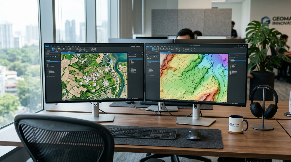
GIS Integration: Orthomosaics and Elevation Models for the Geospatial Workflow
Most surveying and geomatics companies do not work with photogrammetry software alone: they work with a GIS tool ecosystem where photogrammetric products are inputs for subsequent analyses. The quality of that integration determines how much additional work each project requires after photogrammetry.
Metashape exports orthomosaics and elevation models in the standard GIS industry formats, with direct support for projected and geographic coordinate systems. Metashape products import directly into ArcGIS, QGIS, Global Mapper, and other GIS platforms without intermediate conversions. For a team using ArcGIS as the main analysis platform, that direct flow eliminates conversion steps that consume time and are sources of georeferencing errors.
Metashape multispectral support is relevant for companies working with drones equipped with multispectral sensors for precision agriculture, forestry, or vegetation studies. Metashape can process multi-band spectral images and generate vegetation indices directly, which expands the service portfolio the company can offer with the same software.
Licensing Model: Why It Matters for a Business
RealityCapture changed in 2023 to a credit-based licensing model for its main version, where cost depends on the volume of images processed. That model may be convenient for occasional users with variable projects, but for a company with regular projects and predictable image volumes, the per-credit cost can be significantly higher than a perpetual license or a fixed annual subscription.
Metashape offers a perpetual license with an optional annual maintenance fee for updates. That means the tool cost is predictable year over year, without the cost of a specific project depending on how many images had to be processed. For a company doing high-volume projects, that cost predictability has a direct impact on project budget profitability.
What Type of Projects Metashape Fits Best
Surveying and official cartography: when the client is a government agency, an infrastructure company, or any entity requiring certified precision with quality control reports, Metashape has the workflow and report export capabilities those projects require.
Cultural heritage and archaeology: heritage site digitization or archaeological excavation projects require models with high geometric fidelity and detailed documentation of the capture and processing process. Metashape is one of the reference tools in that field precisely for its process control and results reproducibility.
Precision agriculture and forestry: Metashape multispectral support allows processing images from NDVI, RED Edge, and other band sensors to generate vegetation index maps directly from the software, without additional tools. For companies offering crop monitoring or forest biomass analysis services, that integrated capability reduces workflow complexity.
Metashape With Aufiero Informatica
Agisoft Metashape is distributed by Aufiero Informatica, an official distributor with extensive experience in photogrammetry and geomatics software for surveying, drone, and remote sensing companies in Latin America.
If your company is evaluating adopting Metashape or migrating from another solution, or has projects with specific precision requirements where it needs to understand how Metashape can document and certify that precision, Aufiero can advise you on the evaluation for your company project profile.
Frequently Asked Questions: Agisoft Metashape vs RealityCapture
What is the main difference between Metashape and RealityCapture?
RealityCapture prioritizes processing speed. Metashape prioritizes process control and
certifiable precision. For projects where speed is the critical factor and results do not need detailed precision reports, RealityCapture may be more convenient. For projects where precision needs to be documentable and auditable, or where there is GIS integration in the workflow, Metashape offers more value.
Does Metashape allow generating precision reports for clients?
Yes. Metashape generates GCP reprojection error reports, camera alignment quality
statistics, and exportable precision reports. For companies working with clients who require precision documentation, that report is part of the deliverable that Metashape enables directly.
Does Metashape integrate with ArcGIS and QGIS?
Yes. Metashape exports orthomosaics, point clouds, and elevation models in standard GIS industry formats, compatible with ArcGIS, QGIS, Global Mapper, and other platforms, with support for projected and geographic coordinate systems.
What licensing model does Metashape have?
Metashape offers a perpetual license with optional annual maintenance for updates. That
makes cost predictable regardless of the volume of images processed, unlike RealityCapture credit model, which can generate variable costs based on each project volume.
Where can I purchase Agisoft Metashape?
Through Aufiero Informatica, official Agisoft Metashape distributor in Latin America.
Extreme speed or certified precision? For surveying, drone, and geomatics companies working on projects where the result needs to be auditable, integrable into GIS workflows, and justifiable to the client with quality reports, Agisoft Metashape offers the process control that requirement demands. With a proper evaluation of project types and delivery requirements, the company can determine where Metashape generates measurable results.
Aufiero Informatica is an official Metashape distributor in Latin America.